The Platform
Six integrated tools that turn your field data — soil samples, yield history, satellite imagery, and local weather — into specific action cards for each management zone.
Row-crop farm operators and agronomists managing corn, soybean, wheat, and cotton operations across 500-5,000 acres in the US Midwest and South face the same recurring problem: the decision tools available are either too coarse or too disconnected to support the field-zone precision modern agronomics requires.
Weather apps aren't built for agriculture. County extension bulletins reflect last season's conditions, not today's soil temperature at your drainage class. Most farm management software shows you historical maps but stops well short of telling you what to do Tuesday morning. The last mile from data to decision is still pure judgment — and that judgment is expensive when it's wrong.
A single misread on a nitrogen application window or a planting-date miscalculation can cost 8-15% of yield on a 2,000-acre operation. That's $40,000-$100,000 in a season where margins already require every decision to land.
Average yield loss from suboptimal input timing per season on a mid-sized row-crop operation
Cost per acre of a missed nitrogen sidedress window on corn — fertilizer dollar and yield shortfall combined
Typical field coverage by crop scouting in a given week — the rest goes unobserved until a problem is visible
Three steps from existing data to specific weekly recommendations — no new sensors required.
Connect your existing farm management software — Climate FieldView, John Deere Operations Center, or CSV field data upload. Supply soil sample records and grant read access to your historical yield maps. No new hardware. No new data collection. Acreweave works with what you already have.
Acreweave ingests field-level yield history, soil lab data, local weather station feeds, and Sentinel-2 satellite NDVI imagery. A gradient-boosted ensemble model trained on 4.2 million field-seasons of Midwest row-crop data forecasts yield probability distributions and flags high-leverage intervention windows by field zone — not by field average, and not by county.
Every week, Acreweave delivers field-zone action cards to your dashboard and email digest: which fields need scouting, what nutrient deficiency signals are emerging, and the expected yield impact of acting versus waiting. Each card cites the confidence level and the specific data inputs that drove the recommendation — so you know when to act and when to wait for more data.
Each tool is built around a specific decision row-crop operators make — from planting to post-harvest.
Field-Zone Yield Forecast
Acreweave splits each field into management zones using soil electrical conductivity and historical yield-map clustering, then runs a separate forecast for each zone. Farmers see a probability band — not a single number — so they understand forecast confidence alongside the prediction. Zones flagged as high-variance get prioritized in the weekly scouting queue, directing on-farm time where it moves the needle most.
Nitrogen Timing Optimizer
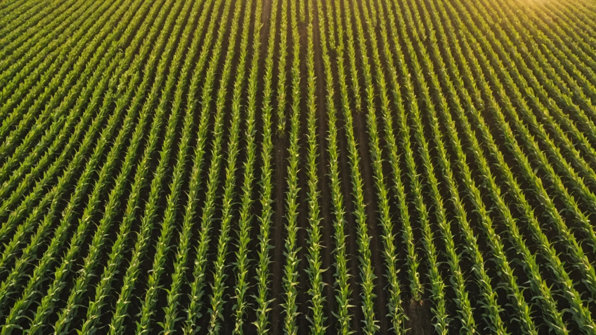
Acreweave models soil nitrate supply from organic-matter mineralization data, projected rainfall, and crop uptake curves to identify the optimal nitrogen application window. Operators receive a ranked list of fields with the optimal application window and expected yield response for each scenario, updated as weather forecasts evolve. The corn yield response to nitrogen is highly non-linear around sidedress timing — Acreweave resolves that non-linearity at field-zone precision.
Satellite NDVI Anomaly Detection
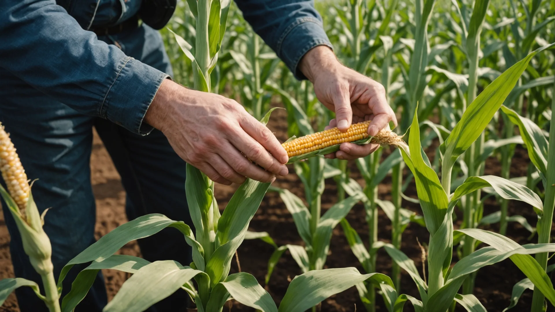
Acreweave ingests Sentinel-2 imagery at 10-meter resolution every five days and surfaces any zone deviating more than 0.12 NDVI units below the historical average. Anomaly alerts include the probable cause category — drought stress, nitrogen deficiency, pest pressure, or equipment overlap — derived from co-located soil, weather, and population data, giving the agronomist a diagnostic starting point before boots hit the field.
Planting Date Decision Engine
County average planting recommendations miss the 4-7 day variation that exists across fields on a single farm due to drainage class, organic matter, and microclimate differences. Acreweave interpolates soil temperature at 2-inch depth from in-field sensors or gridded models, combines it with GDD accumulation forecast and precipitation probability, and computes a probability-weighted planting window per field zone. Early-planting yield penalties and late-planting GDD shortfall scenarios are displayed side by side.
Season-End Yield Attribution Report
After harvest data flows into the platform, Acreweave runs a post-season attribution model that partitions final yield variation across the factors it tracked: planting timing, nitrogen application windows, drought stress events, and population decisions. Each attribution factor is assigned a dollar value per acre so operators can compare what actually happened against the Acreweave recommendation path and see quantified ROI. Attribution reports are available by field, zone, or operation-wide.
Agronomist Collaboration Notes
Acreweave's collaboration layer lets the farmer share read or comment access with their agronomist on any field, attach photos from scouting visits, and log notes against specific field zones on the map. All notes are timestamped and linked to the satellite imagery frame from that date, so both parties see the same ground truth when discussing a recommendation. Works with existing independent agronomist or co-op advisor relationships — no switching required.
Acreweave connects to the farm management software and data sources your operation already uses. No new apps required for your agronomist or your crew.
Acreweave is designed for owner-operator row-crop farmers and farm managers running corn-soybean or corn-wheat rotations on 500-5,000 acre operations in the US Corn Belt and Delta. Typically 1-3 full-time operators plus seasonal help, with $300K-$3M annual input spend — enough scale to justify data-driven precision, not enough scale to hire a full-time precision agronomist.
You are the person who decides when to sidedress, which fields to scout this week, and whether the planting window is open. Acreweave helps you make those decisions with the same quality of analysis large operations buy from dedicated consultants.
Specialty crop, vegetable, or orchard operations with complex canopy management needs; organic operations without historical yield-map data; farms under 200 acres where subscription cost does not pencil out at scale. If your operation fits one of these, we're not the right tool and we'd rather say so up front.
Request early access and we'll walk you through a demo using data from an operation similar to yours.